File:Telemagique avalanche.jpg
Size of this preview: 800 × 523 pixels. Other resolution: 1,024 × 669 pixels.
Original file (1,024 × 669 pixels, file size: 164 KB, MIME type: image/jpeg)
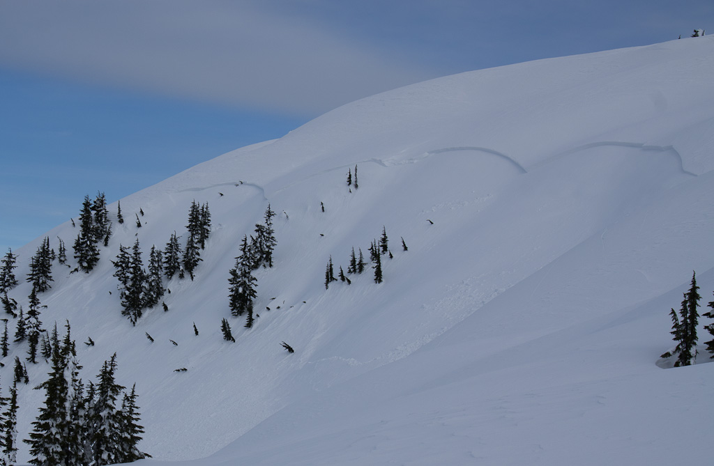
Full path avalanche on Telemagique Ridge March 8, 2012. This slope is the NNW side of the 1723m summit (the highest point south of Telemagique Lake)
File history
Click on a date/time to view the file as it appeared at that time.
| Date/Time | Thumbnail | Dimensions | User | Comment | |
|---|---|---|---|---|---|
| current | 03:51, 26 November 2025 | | 1,024 × 669 (164 KB) | Maintenance script (talk | contribs) | == Summary == Importing file |
You cannot overwrite this file.
File usage
The following file is a duplicate of this file (more details):
The following page uses this file: