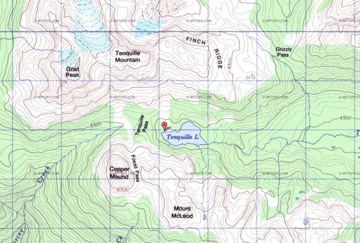
File:TenquilleTopo.png
Size of this preview: 800 × 539 pixels. Other resolution: 1,209 × 815 pixels.
Original file (1,209 × 815 pixels, file size: 1.55 MB, MIME type: image/png)
Tenquille Lake area topographic map (via ACME Mapper)
File history
Click on a date/time to view the file as it appeared at that time.
| Date/Time | Thumbnail | Dimensions | User | Comment | |
|---|---|---|---|---|---|
| current | 03:51, 26 November 2025 | | 1,209 × 815 (1.55 MB) | Maintenance script (talk | contribs) | == Summary == Importing file |
You cannot overwrite this file.
File usage
The following file is a duplicate of this file (more details):
The following page uses this file: