File:Mt Gardner Trailhead Map.jpg
Size of this preview: 800 × 600 pixels. Other resolution: 1,224 × 918 pixels.
Original file (1,224 × 918 pixels, file size: 147 KB, MIME type: image/jpeg)
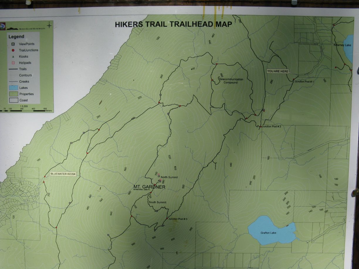
A shot of the map located at the trailhead of Mt Gardner. Useful given the number of junctions on the mountain. Much higher resolution available on request.
File history
Click on a date/time to view the file as it appeared at that time.
| Date/Time | Thumbnail | Dimensions | User | Comment | |
|---|---|---|---|---|---|
| current | 03:52, 26 November 2025 | | 1,224 × 918 (147 KB) | Maintenance script (talk | contribs) | == Summary == Importing file |
You cannot overwrite this file.
File usage
The following file is a duplicate of this file (more details):
The following page uses this file: